

Variability in soil types across a field can be one of the biggest factors in variability of crop yield. Soil salinity, texture, water content and the soil’s ability to hold and use vital nutrients all contribute to crop variability across a field. Now growers can develop accurate maps of soil characteristics across a field, or across an entire farm, thanks to a new on-farm service developed by Queensland Drones, a Queensland-owned precision agriculture service provider. “Electromagnetic Conductivity (EC) soil mapping is a trusted one-off investment in the knowledge needed by growers to understand and respond to soil variability and develop […]
Year: 2017
Drones and Privacy – Your Rights

Quick Summary: There are essentially no privacy rules applying to drone use in Australia at this time. If you believe you are being “stalked” or someone is using a drone to plan a crime, call the Police on 131444. If you believe a drone is being used illegally, report it to CASA. As a busy commercial drone operator, I am often asked about peoples’ right to privacy when drones are flying around them, and it is even, on occasion, suggested that I am invading someone’s privacy by flying a drone near them. So I’d like to clarify your right to […]
So you wanna be a drone pilot?
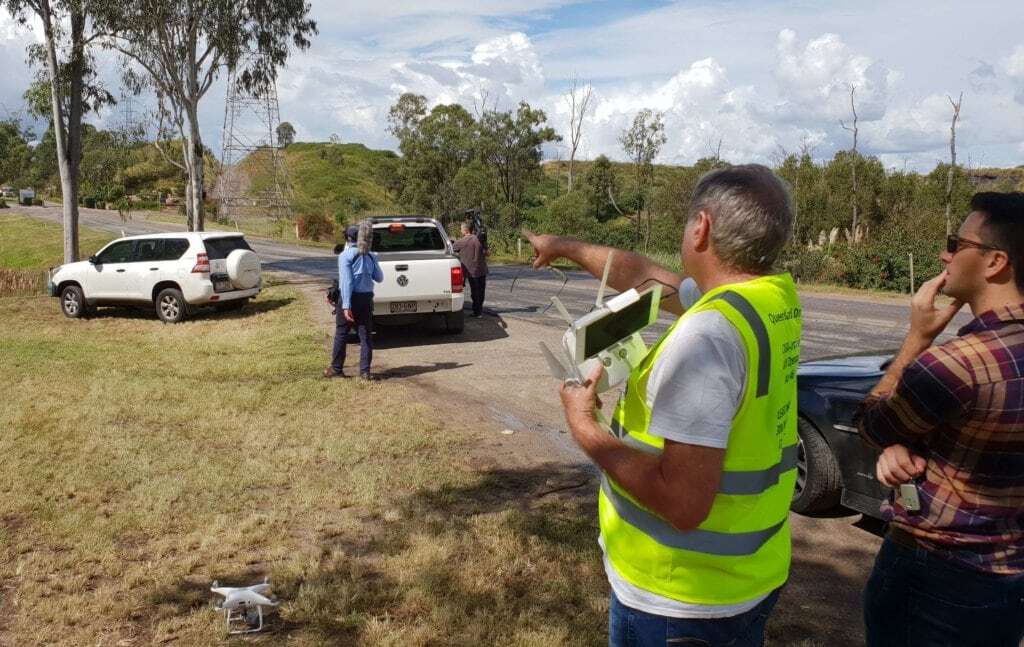
The Definitive Guide to Commercial UAV Operations in Australia UPDATED 19 FEB 2020 If you are an electrical engineer or have significant experience in the electrical transmission, renewable energy, construction engineering or oil and gas industry sectors, and wanting to be a commercial drone pilot, please contact Tony ([email protected]) to discuss current employment opportunities in Qld, NSW and Victoria. If you’ve arrived at this page looking for professional aerial imaging and aerial mapping services, please take a look at our list of Services to find out more about Queensland Drones or Contact us for an obligation-free discussion about your needs. […]
One in three farmers are using drones
Are you still sitting on the fence wondering if drones are going to be useful on your farm? You might well risk being left behind. A new Pulse survey by the US Farm Journal magazine has discovered that 33% of all US farmers are using, or are planning to use, drones to help manage their crops this year. The Pulse survey of more than 1000 US farmers asked a very simple question … “Will you use a drone in your operations this year?”. One third of all respondents said they would use a drone, while another 31% said they would […]
Using NDVI to help manage a golf course
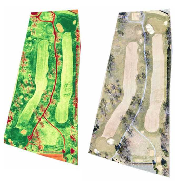
NDVI (Normalised Difference Vegetation Index) is nothing new in agriculture and has been widely used to detect crop health issues for many years. The idea of using NDVI imaging to manage turf health issues in golf courses is pretty new, although it is closely aligned with NDVI using in managing turf farms. As with the adoption of NDVI imaging in agricultural sectors like horticulture and viticulture, adoption of this technology in golf course management is largely being driven by the needs of companies developing radical solutions to improve the quality of fairways and putting greens. These companies need proof that […]
Macadamia growers’ case study 2017
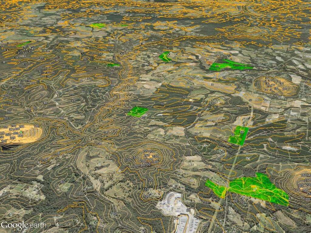
Queensland Drones is currently working with Growcom’s Hort360 project team to identify critical correlations between sub-soil conditions, soil drainage and erosion, and tree health in macadamia orchards on Queensland’s Sunshine Coast. So far we’ve worked with eight growers over a total of almost 500 acres of prime macadamia orchards across the hinterland region. There are still opportunities for other growers and growers in other regions to join this study. The scope of the trials for macadamia growers is to compare EM38 sub-soil analysis with airborne LIDAR imagery and drone-based NDVI imagery to identify correlations at the sub-surface, surface and canopy levels which […]
