Aerial LIDAR Mapping and Survey Specialists

We’re Queensland Drones, delivering precise and reliable commercial drone services.
 
We specialise in aerial LIDAR survey mapping, primarily for:
  • engineers
  • surveyors
  • developers
  • planners
  • environmental managers 
  • building designers
  • project managers
  • and other professionals.

We can work independently, in close cooperation with your preferred surveyors, or with our experienced registered surveyors.

Drone Survey Processing

At Queensland Drones, our business includes providing drone data processing services to land surveyors throughout Australia. From photogrammetry to lidar processing, point cloud classification to production of DEMs, DSMs, TiN Mesh Grids and CAD drafting, we can help you get the most out of your drone survey programs. If you are interested in learning more about how Queensland Drones can help your business, let us know using the form on our Contact Page or call Tony on 1300 025 111.

Partner with us to help your organisation thrive!  We work with small and large organisations, government agencies, surveyors, engineers, project managers and conservation managers across Queensland and throughout Australia to inform better decision-making.

Why Choose Us?

Professional, State of the Art Services

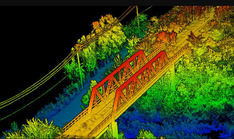
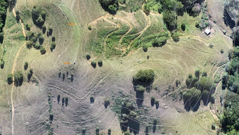
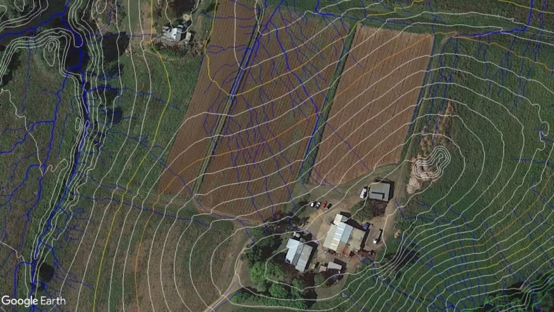
We provide our clients with fast, accurate, professional and state-of-the-art PPK aerial mapping services including LIDAR point clouds, TiN Mesh surface models, elevation contours, topographic maps, breakline and feature extraction, water flow projections and vegetation inspections and more.

We Work Across Australia

We are based in Brisbane, Queensland, but operate regularly through Queensland, New South Wales and the Northern Territory. We also travel to other parts of Australia as required. We specialise in regional and remote area mapping and can currently hand projects up to 50,000 Ha (but our capabilities are improving all the time, so please ask us even if your project is larger than this).

Secured Outputs Delivered in Your Preferred Platform

If your project data is confidential or sensitive, please be assured that we do not use cloud-based processing platforms. All our processing is done manually by our own experienced GIS specialists, to ensure you receive the outputs you need, quality checked and ready to use in your preferred CAD and BIM platforms. We can even deliver outputs CAD-ready in AutoCAD Revit formats.

Our Commercial Drone Services

Orthographic
Mapping

LIDAR
Mapping

Thermal
Mapping

Multispectral
Mapping

Our commercial drone services are constantly evolving and growing. They include:

Our PPK-enabled airborne LIDAR mapping sensor with fully integrated and calibrated 26MP RGB mapping camera delivers LIDAR mapping accuracy of 5-10cm without ground control points and 2-4cm precision when combined with accurately measured ground control points.

Using the ultra-precise characteristics of commercial-grade PPK-enabled aerial mapping and aerial lidar drones, Queensland Drones can now deliver on-site surveys for construction and engineering with a spatial (geographic) accuracy of 1-2 cm, even over very large areas.

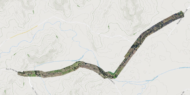
Our road mapping and corridor mapping services using PPK precision drones is ideal for rapid surveying and inspection of road projects, railway lines, oil and gas pipelines, transmission lines and linear right of way corridors.

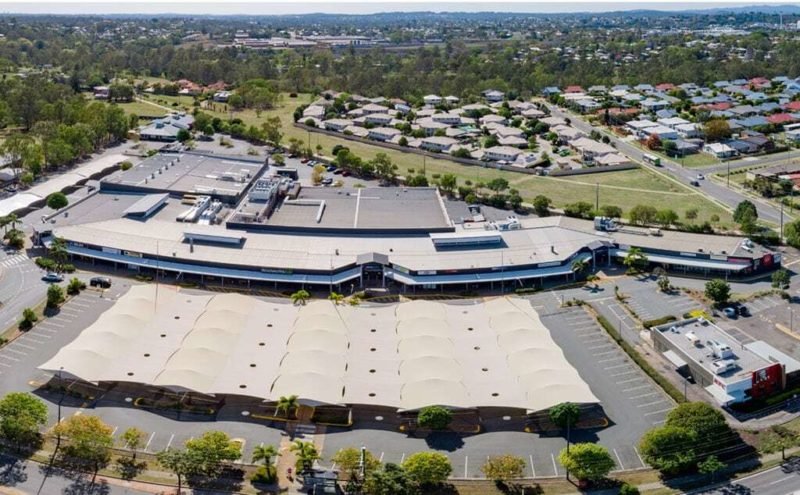
Queensland Drones is a professional, CASA-Certified UAV operator providing a range of high quality site mapping, progress tracking and project marketing services for construction sites and development sites.

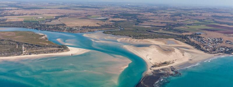
Queensland Drones delivers the most comprehensive suite of aerial environmental mapping and survey services currently offered in Australia. We work closely and collaboratively with our clients to ensure our environmental mapping services are optimised to your requirements.

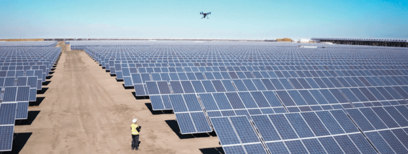
Queensland Drones provides aerial drone infrastructure inspection services for energy companies, telecommunications companies, water supply companies, forestry companies, local governments and anyone who needs safe, fast inspection of critical infrastructure and assets in difficult locations.

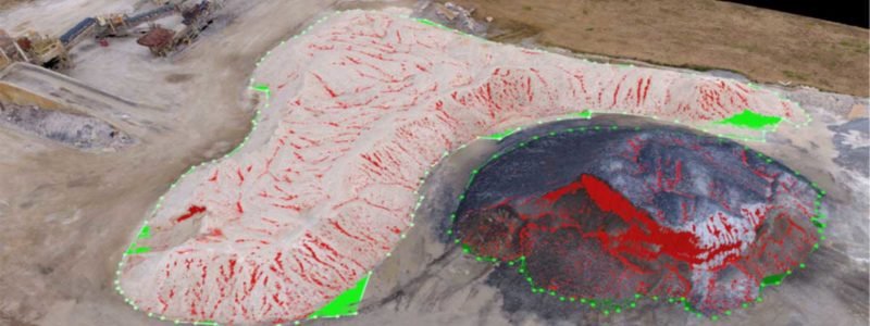
Queensland Drones specialises in precision volumetric measurement mapping and modelling of large and complex mine sites, quarries, landfills, agricultural and development sites, even in remote areas. Our commercial grade PPK mapping drones, combined with precise RTK ground control where required, can capture 2-3cm precision data even across large areas.

Queensland Drones provides advanced multispectral mapping of crops, orchards, infrastructure corridors and environmental management areas using Rededge multispectral sensors mounted on our multicopter, fixed wing and VTOL fixed wing UAVs.

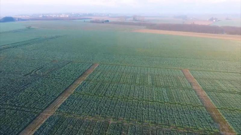
Our detailed farm mapping service uses purpose-designed fixed wing mapping drones to capture all of your property in amazing detail, and can be rendered in many different ways to meet your property management needs. It’s a flexible, powerful way to visualise larger properties.

Request a Quote or Service

Complete the form for an obligation-free quote for your aerial imaging, video or aerial mapping project. If you are not sure what you need yet, give us a call on 1300 025 111 and let us help you identify the service that best meets your current needs.

If you are requesting a quote for aerial mapping services, please include the address and the Lot/Plan number(s) of the area you need mapped as this will help us to better respond to your enquiry.

WE TAKE YOUR PRIVACY SERIOUSLY

We will never contact you in any other way than by phone or email unless you specifically request that we do so in writing, via email, or by calling us. For our full privacy policy, please follow the PRIVACY POLICY link at the bottom of any page.

*We will only use your data to respond to your enquiry and to interact with you as a valued client.

Why You Should be Using Queensland Drones

What Our Clients Are Saying...

“Tony was fantastic to deal with, very prompt, professional, and delivered high quality Lidar results quickly from a tricky area on a tight deadline. The fast delivery of results helped our project to move forward. Queensland Drones 5 star service.”

Siobhan Sweeney, Geology Manager, Cufe Ltd

Scroll to Top