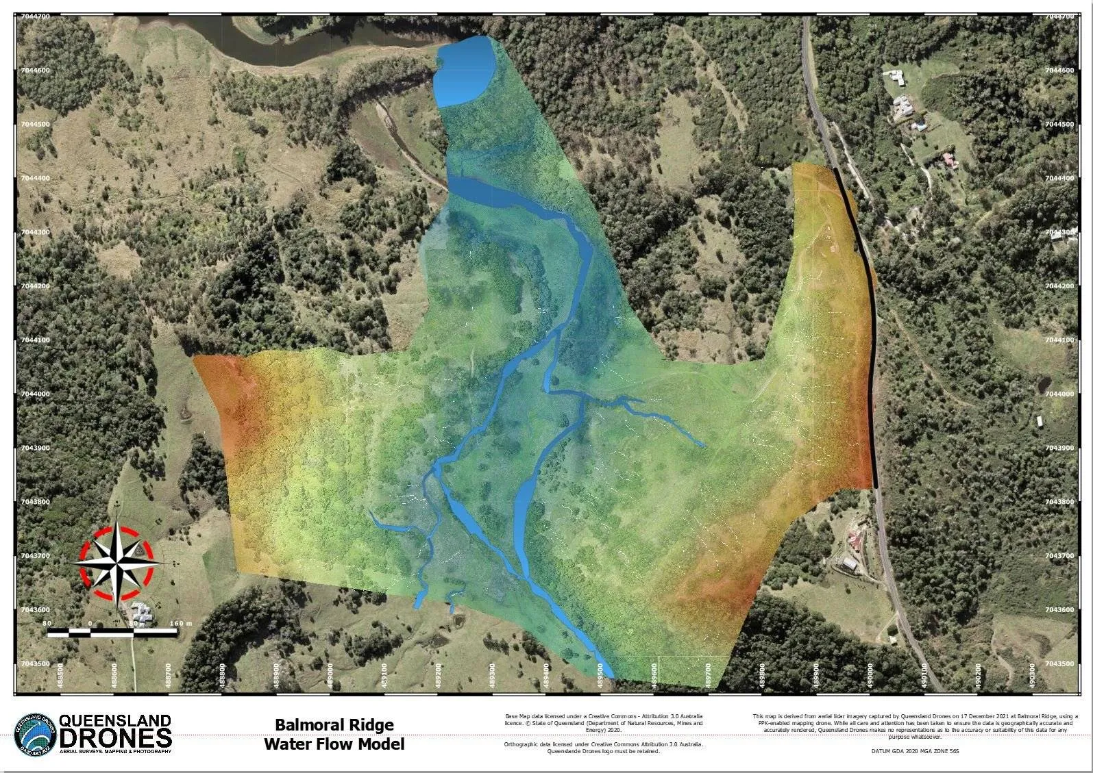
In this article, Queensland Drones Chief Remote Pilot, Tony Gilbert, shares his learnings from more than 10 years of topographic mapping and helping clients with elevation contour surveys Last Updated 30 August 2026 A contour survey is a way to easily visually understand the vertical and horizontal shape (the “topography”) of your land. By understanding the land contours, you can easily visualise or map how water will flow over the property when it rains, where it will collect, where it might erode the soil and many other important water flow characteristics, where to build access roads and how to farm […]