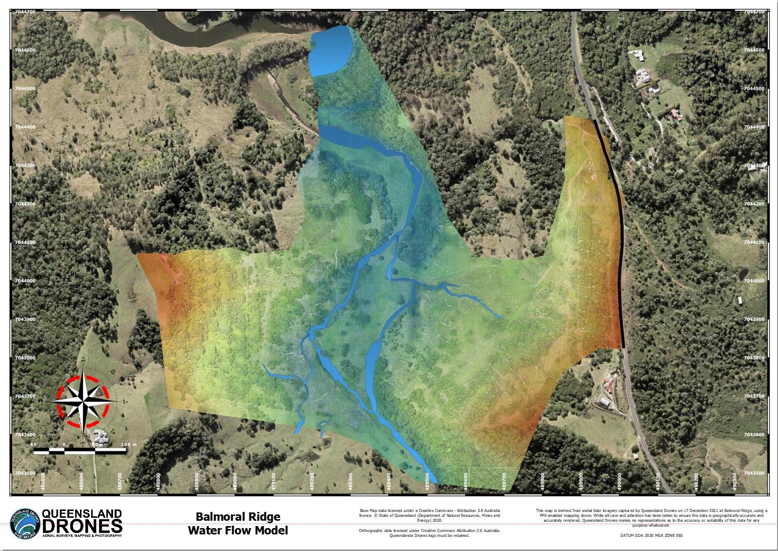
A contour survey is a way to easily visually understand the vertical and horizontal shape (the “topography”) of your land. By understanding the land contours, you can easily visualise or map how water will flow over the property when it rains, where it will collect, where it might erode the soil and many other important water flow characteristics, where to build access roads and how to farm your property along the contours. From this simple base, you can even develop water flow models, stream maps and determine the best places to create dams and silt traps. Do contour surveys need […]

