Aerial Farm Mapping

Affordable Farm Mapping for Large Properties
When you’re managing a larger farm, especially one which is new to your family or business, or one which employs casual help, you need accurate and reliable farm mapping to ensure you and your helpers are always on the same page, so to speak.
Queensland Drones specialises in aerial farm mapping – it’s been the core of our business for almost five years now. There are many use cases for aerial farm mapping, but we find these are the most popular options among our rural clients:
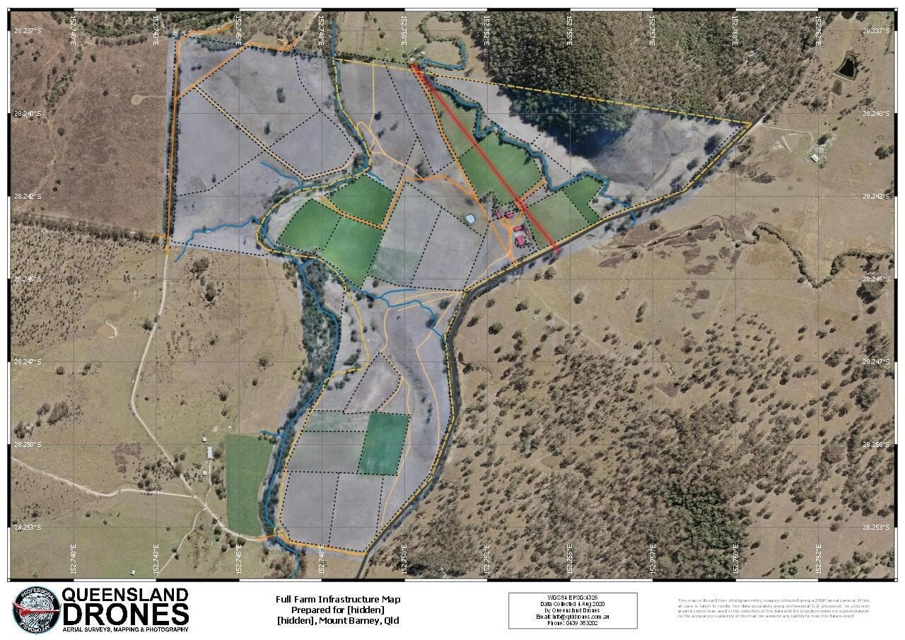
- Farm Infrastructure Maps – detail maps showing the layout of the property (including any agisted fields), fence lines, gates, tanks, troughs, buildings, irrigation points and more … so when you send someone out to do a job, you both know where they should be doing it.
- Land Use Mapping – the knowledge base for how you are using your fields from season to season and, for newer properties, identifying areas that might be targeted for different use in the future (e.g. treed fields, eroded gullies, etc).
- Elevation and Contour Mapping – precision maps that describe the contour of the land and help you to decide how best to prepare the land and to irrigate your crops.
- Hydrological Mapping – precision analysis of land contours to determine how water flows across the property (and within crops or orchards) during rain events, where water accumulates, where fields or tracks might get boggy or cut off, where to site dams and silt traps and how to most efficiently irrigate your fields.
- Irrigation Effectiveness Mapping – aerial inspection of your irrigation systems (fixed or mobile) to see if they are delivering water evenly to fields and crops, to identify any blocked nozzles or actuators, and to evaluate how the soil is absorbing and storing valuable irrigation water.
- Crop and Orchard Health Mapping – advanced RedEdge multispectral mapping with incident light compensation sensors to evaluate crop health, count emerging plants and identify gaps or failed plants, highlight areas where pests or diseases are emerging in crops (and fungal infections in trees), estimate yield readiness and harvest volumes and much more.
- Soil and Crop Fertility Mapping – measure the real time effects of adding nutrients or fertilisers and decide if fields need to be rotated.
- Damage Assessment Mapping – develop real evidence to provide to farm and crop insurers when preparing claims after storms and other disasters; evaluate where and when to begin recovery of damaged fields and crops after bushfires and other events.
We provide on-farm mapping services throughout the growing season – pre-planting, sowing, irrigating, fertilising, scouting and pre-harvesting – and can integrate our data with your existing farm management, agronomic or ESRI systems.
Contact us Now to discuss or Request a Quote for Aerial Farm Mapping
Find out more about our Aerial Farm Mapping Services
Find out more about Multispectral Mapping for Crops and Vegetation
Find out more about Farm Terrain Modelling
