Improve Seed Trials using Multispectral Trial Plot Mapping Modern farming is challenging. Drought, climate change and other natural disasters are cutting farm profits, but you still need to do the best you can with what you have. Which is why seed selection and trial plots are so critical to the success of your crops. A recent survey by Farmers Business Network identified the biggest seed selection challenges facing farmers as: Needing to save money on inputs (23%) Not knowing how last year’s seeds performed before planting this year’s crops (22%) Pressure to make an early commitment to get seed discounts […]
Tag: aerial mapping
What Is a Contour Survey?
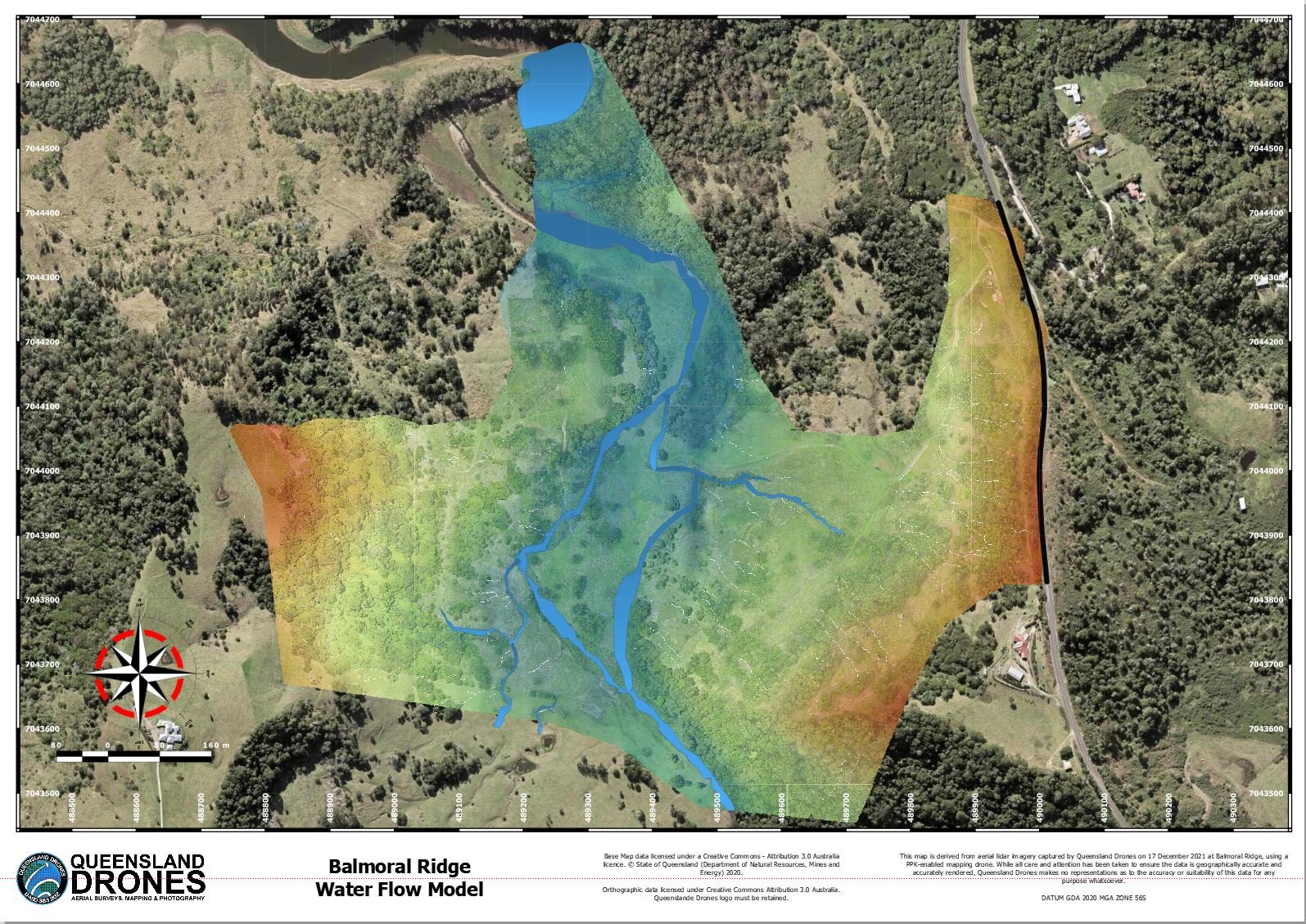
A contour survey is a way to easily visually understand the vertical and horizontal shape (the “topography”) of your land. By understanding the land contours, you can easily visualise or map how water will flow over the property when it rains, where it will collect, where it might erode the soil and many other important water flow characteristics, where to build access roads and how to farm your property along the contours. From this simple base, you can even develop water flow models, stream maps and determine the best places to create dams and silt traps. Do contour surveys need […]

