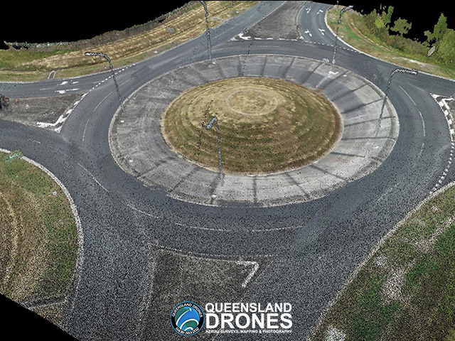
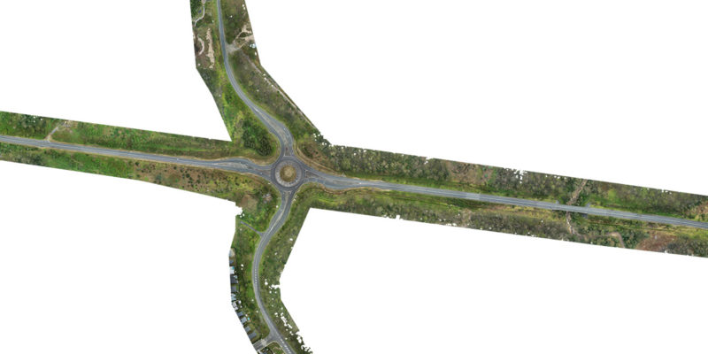
Precision Aerial Road Surveys
Drone Mapping for Councils and Government

While the use of surveyors may be critical for some elements of road design and road redesign projects, the addition of precision UAV mapping can make the work of your surveyors much more timely, cost-effective and efficient.
This is particularly true for councils and government authorities seeking disaster funding for road and bridge repairs, where the speed of the application process is often critical to the success of the funding application.
Based on the Sunshine Coast, Queensland Drones specialises in precision mapping and modelling of road reserves and roads designated for reconstruction, even in rural and remote areas. We work hand in hand with your surveyors to ensure our outputs are accurate, appropriate and will meet the needs of your designers and engineers in the CAD and BIM environments. If required, we can also introduce one of our registered surveyor partners to the project.

Our aerial road mapping surveys use precision multi-constellation RTK and PPK GNSS equipment which reduces the need for traditional ground control points and can provide 2-3cm locational precision with just a few well-placed GCPs or PSMs. With the addition of specific surveyor-measured points we can achieve even better precision outcomes.
Our aerial mapping services for road construction can deliver:
- High resolution orthographic images to <3 cm/px GSD even on very large sites (<2 cm/px on small sites)
- 3D point cloud, mesh or TIN to import into your CAD or BIM systems
- Breaklines for roads, structures, slopes and other features
- Digital Terrain Model (DTM) or Digital Surface Model (DTM)
- Classified point cloud (removal of vegetation, structures and non-permanent objects)
- Digital Elevation Model and Elevation Contours
- Water flow modelling for storm and runoff water
- Volumetric measurement for cut and fill
- Ask us about customised outputs for your specific needs
For sites with extensive tree cover, we can combine aerial photogrammetry and Lidar point clouds to produce detailed ground images with precise surface modelling.
We are not surveyors, but our precision UAV mapping workflows ensure that engineers, designers, developers and surveyors can use our drone mapping survey outputs to reduce both the time and cost of collecting accurate high-resolution data for large sites.
Contact us now for an obligation-free discussion and quote for your mining, quarry and construction site aerial mapping needs.

Leave a Reply
You must be logged in to post a comment.