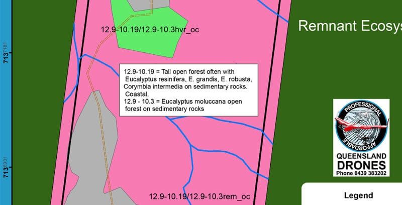
Land Use Planning – Species Identification
Gathering Evidence for a Material Change of Use Application
When considering a development application that requests a material change of use (MCU), most councils and government agencies require that you present a site plan showing, where appropriate, vegetation you wish to clear for the development. Some vegetation may be protected and it’s critical to establish prior to your application if protected vegetation species exist on the property and precisely where they are located, so you are not wasting expensive planning resources on locations that cannot be developed or require expensive planning permissions.
Queensland Drones is a leading provider of aerial intelligence to support development applications and land use planning processes. We can help you to quickly and accurately assess your proposed development location, identify remnant vegetation species and high value regrowth areas that may impact your plans and provide the detail needed to create your site plan.

Within this process, we can help to identify what species of vegetation historically grew in this location prior to it first being developed, which can often be critical in establishing if additional “Category X” clearable areas can be requested. This information is also helpful when planning what to grow on the property after development (e.g. for permaculture farming).
For more information about how a vegetation species analysis and other land use planning inputs from Queensland Drones can help better inform your land use planning process, please contact us using the links below or read more about our land use planning services.

Leave a Reply
You must be logged in to post a comment.