How Much Does LIDAR Mapping Cost?

Can You Afford To Use LIDAR Mapping? Can You Afford Not To?
If you’re wondering whether or not to use LIDAR mapping on your next project, the short answer is “You probably already know you need it” … but how much will you need to pay to get LIDAR mapping?
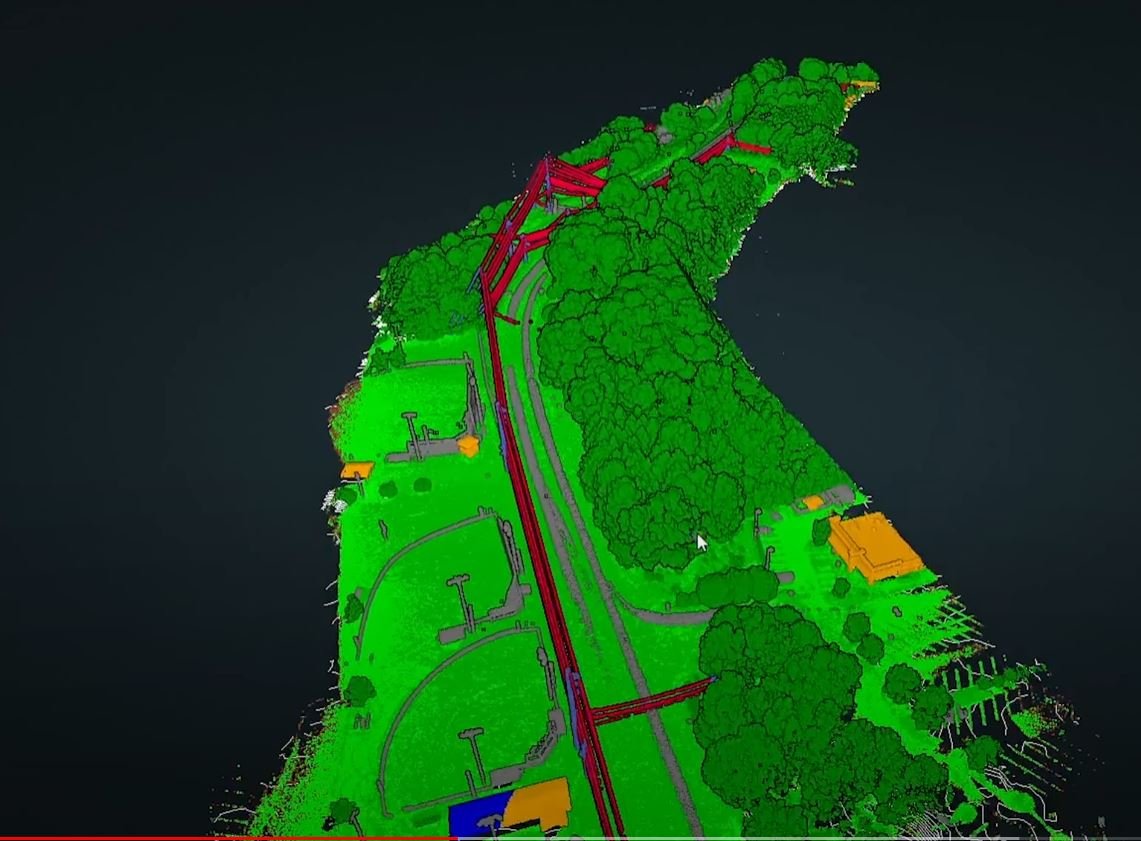
Mapping with LIDAR (usually using light aircraft) has always offered many advantages over photogrammetric mapping, especially because LIDAR sensors are less affected by light and atmospheric distortions, but cost has been a major obstacle to more widespread and general adoption of LIDAR.
The integration of lightweight LIDAR sensors into commercial drones has made LIDAR mapping a whole lot more affordable. But costs are still often “a piece of string” because there are just so many variables in the equation, like precision level, outputs required, size of area to be mapped, type of terrain, remoteness and more.
For example, some UAV operators will tell you that you don’t need ground control points (GCPs) when mapping with LIDAR, but this is only true if you don’t have a particular precision requirement for the data. We almost always use GCPs when mapping with LIDAR, if only to be able to prove that the data we collected is as accurate as claimed. For projects where very high precision is required, like mapping for construction and engineering, our GCPs are measured by a registered surveyor and we are able to achieve sub-CM accuracy, even over quite large areas.
Mapping using LIDAR is typically more expensive than photogrammetric (RGB camera) mapping because of the much greater capital investment in equipment required to capture LIDAR data, the greater investment in software to process LIDAR data and the additional time required to extract and produce the outputs required from LIDAR mapping.
The typical industry rate for aerial mapping using UAV-mounted LIDAR is currently around $2500 per day. The rate for a manned aircraft LIDAR system can be more like $30,000 per day, so the UAV rate is still very cost-competitive. The actual cost may vary up and down a bit from there, but it’s a good basis for a LIDAR survey budget.
The release of DJI’s lower cost L1 LIDAR sensor may drive this rate down at first, but it will quickly (and sadly painfully) become clear that many of the operators who are buying the L1 sensor do not have the experience or skillset to deliver reliable data for critical engineering and survey projects.
The Livox Avia technology on which the DJI L1 is based is widely used by commercial drone service providers, but the way DJI has chosen to deploy the technology, at the lowest cost possible, has led to too many compromises that have the potential to reduce the quality of the results, in ways you just can’t afford.
We have run our own side-by-side tests of the DJI L1 against more professional sensors based on the Livox Avia, like the CHCNAV AA450 and while the L1 is a good sensor for learning what LIDAR can do, we don’t see it as commercially reliable at this point.
We’re more than happy to discuss the costs and cost factors associated with LIDAR mapping and to provide fast, no-obligation estimates for specific LIDAR mapping projects. Just give Tony a call on 1300 025 111 or send an email to [email protected] with some details of your project and how you think you might want to use the LIDAR data.
Check out our Aerial LIDAR Mapping Service and Drone LIDAR Mapping for Surveyors and Engineers pages to find out more about how Queensland Drones is deploying and delivering fast, accurate LIDAR mapping using drones.
Enquire about LIDAR Mapping
Complete the form below to find out more about using UAV LIDAR on your next project.
