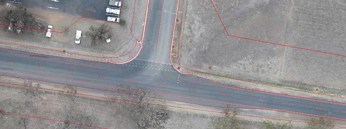
Drone surveys are still a relatively new and not fully understood process for many people, but professionals in the engineering, exploration, surveying and precision agriculture fields are rapidly embracing the advantages of this alternative approach to gathering critical site data. Where once they had to wait for a traditional surveyor to go out to a site, often spend several days there gathering ground-based measurements, then more days or even weeks compiling and presenting the data in a usable format, these early adopters are getting usable data in just a couple of days. Even traditional surveyors are increasingly embracing drone surveys […]

