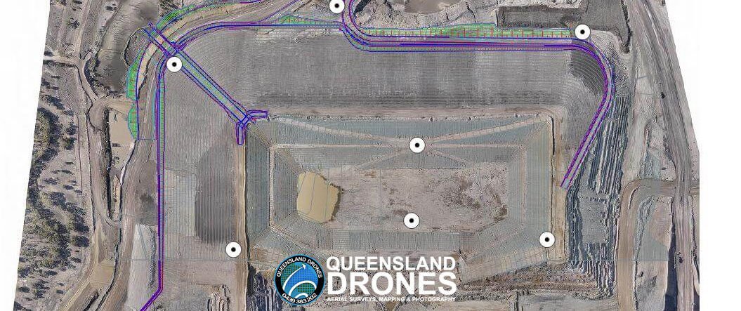
Can Drone Aerial Surveys Meet Engineering Standards? Drone mapping surveys are being used more and more to support construction, development, mining, agricultural and other commercial activities. Queensland Drones is a trusted provider of precision PPK Precision Aerial Mapping using purpose-built mapping UAVs. We regularly partner with engineers, surveyors and other industry professionals to rapidly deliver survey-grade aerial mapping (especially over larger areas). So how accurate are aerial mapping surveys using drones? And why does experience matter so much? It’s pretty easy to buy a drone and fly a site for mapping data. You can process it on an online platform […]

