Soil conductivity mapping key to understanding variability

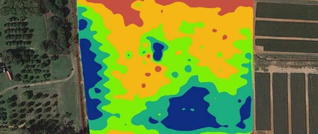
Variability in soil types across a field can be one of the biggest factors in variability of crop yield. Soil salinity, texture, water content and the soil’s ability to hold and use vital nutrients all contribute to crop variability across a field.
Now growers can develop accurate maps of soil characteristics across a field, or across an entire farm, thanks to a new on-farm service developed by Queensland Drones, a Queensland-owned precision agriculture service provider.
“Electromagnetic Conductivity (EC) soil mapping is a trusted one-off investment in the knowledge needed by growers to understand and respond to soil variability and develop strategies to improve soil nutrient and water retention, says Tony Gilbert, CEO of Queensland Drones.
“Experts argue that knowledge of soil conductivity patterns can help farmers make better management decisions about the delineation of plots with different soil characteristics and agronomic needs.”
“Our goal is to make this information easily accessible to local growers and agronomists in a way they can readily use on the farm every day,” Mr Gilbert said.
Understanding and managing the soil’s capacity to retain and use nutrients and water can also help growers to better manage use of costly crop inputs like fertilisers, soil conditioners, trace nutrients, even irrigation water. Less fertiliser and less water use is also great for the environment.
Using a combination of soil conductivity maps and low-cost aerial NDVI crop health imaging, local growers are now able to confidently manage soil characteristics and evaluate the effectiveness of soil treatments and water use over time.

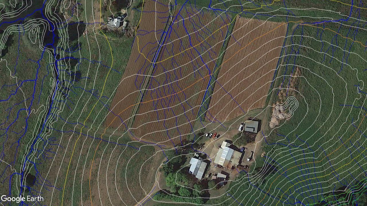
Queensland Drones can also provide growers with topographical water flow and water accumulation maps for their farms and surrounding areas to better manage water use and storm water run-off and to help reduce soil loss through erosion.
Topographical water flow modelling is an invaluable tool to assist growers in planning and managing water use across their property through better design of drains, dams and water channels.
For more information about EC soil mapping, NDVI crop health mapping, water flow modelling and farm infrastructure mapping, contact us now for an obligation-free consultation.

Leave a Reply
You must be logged in to post a comment.