About Us

Aerial LIDAR Mapping and Drone Survey Specialists
Professional and Affordable – CASA-Certified and Fully Insured
In a world where any Tom, Dick or Harry can buy a drone from Hardly Normal and call themselves a “drone service provider”, how do you know what you’re getting? How do you choose the right drone service provider?
We are Queensland Drones – a professional provider of aerial LIDAR mapping, precision aerial surveys and high-resolution aerial inspections since 2016. We are based in Brisbane, but we regularly work in regional and remote areas of Queensland, NSW and the Northern Territory. We’re also available to travel anywhere in Australia or around the world to assist our valued clients.
We are a CASA-certified drone operator with current certification for Fixed Wing, Powered Lift (VTOL) and Multicopter UAVs (drones) and we operate under a strict Job Safety Assessment (JSA) and Safe Work Method Statement (SWMS) system which can integrate with your existing safety, orientation and biosecurity processes.
We process our mapping, photographic and video content using our own team of GIS specialists, so your sensitive data is never published on cloud-based processing platforms. We believe the images and data we capture belong to our clients and we don’t share them with others without your permission.
Our core technologies include:
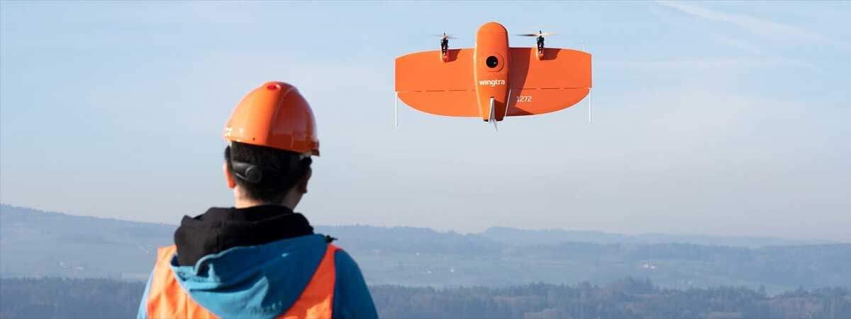
- Enterprise grade VTOL, Fixed Wing and Multicopter UAVs
- Precision integrated LIDAR and RGB mapping sensors
- RedEdge multispectral mapping sensors
- High resolution still photo and video (20MP photos, 4K cinematic videos)
- Precision GNSS RTK and PPK positioning (base, rover and aerial rovers)
- Precision photogrammetric processing and spatial data generation (orthomosaic, point cloud, mesh and DEM/DTM)
- Precision GIS outputs (elevation contours, hydrological analysis, cross-section profiling, feature extraction)
We regularly partner with professionals like surveyors, engineers, agronomists, building designers and property managers to create aerial mapping and imagery that adds value to the construction, mining, environmental management and agriculture sectors. We can deliver very precise (2-3cm) aerial mapping services that extend the capability and efficiency of your regular ground surveyors.
Please give Tony a call on 1300 246 977 or complete our online enquiry form to find out more.
Explore our aerial mapping and imagery services:
- Precision Aerial Mapping using PPK
- Precision Route and Corridor Mapping
- Drone Environmental Management and Monitoring
- Agronomic Multispectral Crop Mapping
- Precision Aerial Volumetric Mapping and Measurement
- Remote Sensing for Mineral Exploration
- Aerial Asset and Infrastructure Inspections
- Contour, Elevation and Topographic Mapping
- Precision Aerial Photogrammetry for Farmers
- Erosion Gully Mitigation and Environmental Mapping
- Farm Infrastructure and Land Use Mapping
- Aerial Asset and Infrastructure Inspections
- Environmental Monitoring Surveys
- Precision Agriculture Services
