Drone Services: LIDAR Mapping, Aerial Surveys and Inspections
Delivering Precision Commercial Drone Services in Qld, NSW and NT
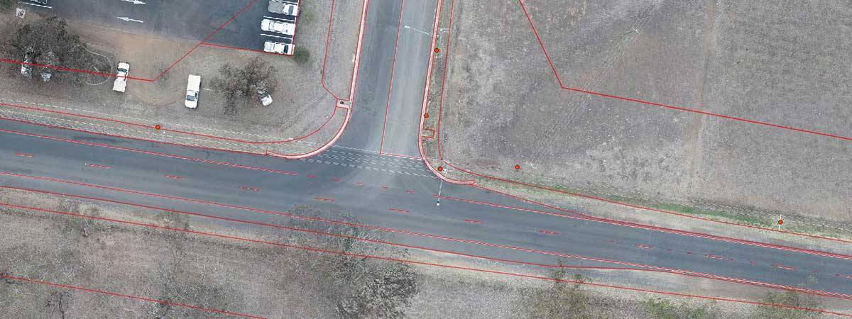
We’re Queensland Drones. For more than 6 years, we’ve been delivering precision aerial mapping and photogrammetry drone services to engineers, surveyors, architects, building designers, agronomists, farmers and consultants who need accurate, high-resolution aerial mapping, detailed terrain data or survey-grade point cloud and mesh data. We dramatically reduce the time and cost while delivering much more detail compared to traditional ground-based surveys.
- We take the time to understand your business needs and where our services can help your business.
- We commit the resources required to do the job properly, every time.
- We use precision GIS survey planning and processing techniques to get the best possible result every time.
- We use high accuracy PPK GNSS aerial mapping platforms to ensure maximum precision.
- We acquire the expertise and technical skills to constantly push the boundaries of what’s possible.
Our core suite of aerial imaging drone services includes:
- Precision Aerial Mapping using PPK
- Aerial LIDAR Mapping
- Precision Route and Corridor Mapping
- Drone Environmental Management and Monitoring
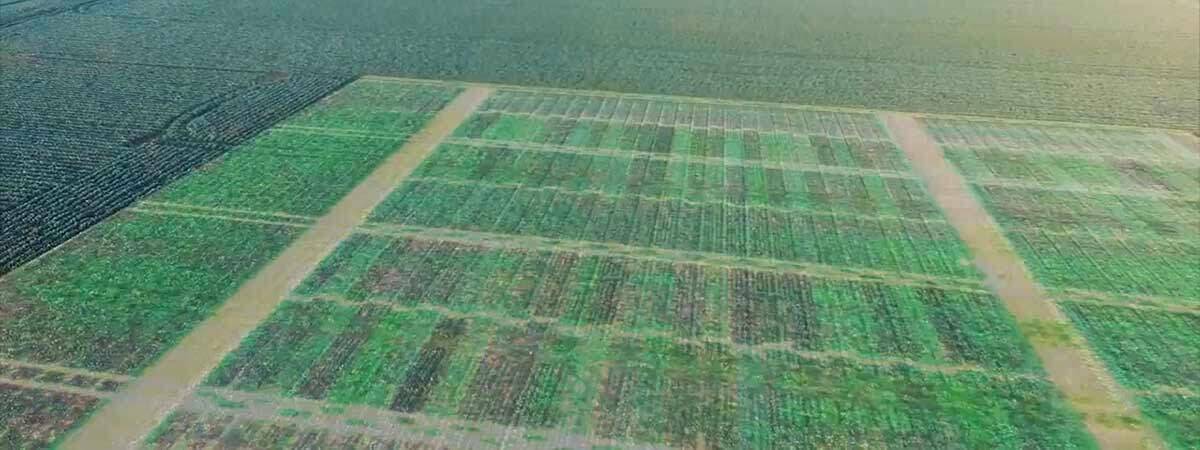
- Agronomic Multispectral Crop Mapping
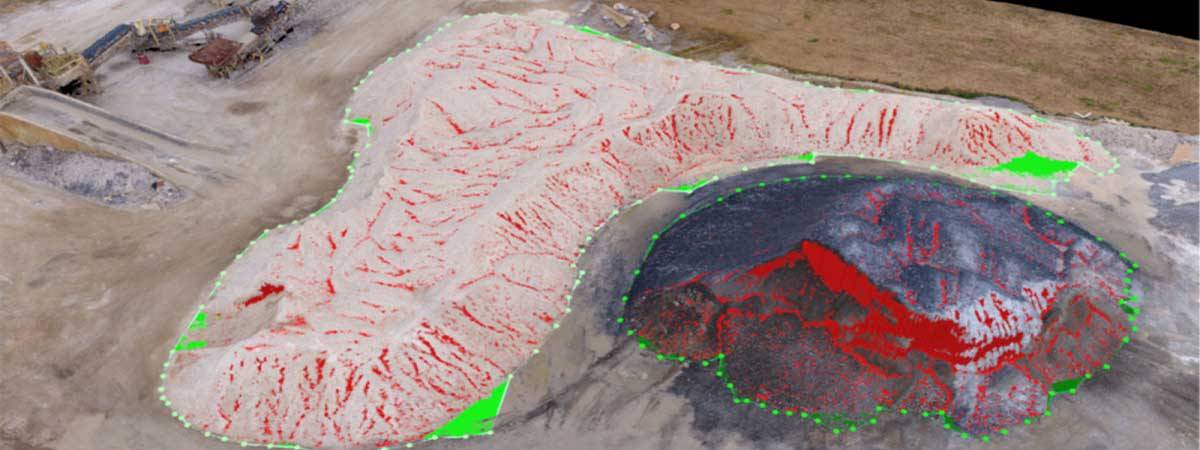
- Precision Aerial Volumetric Mapping and Measurement
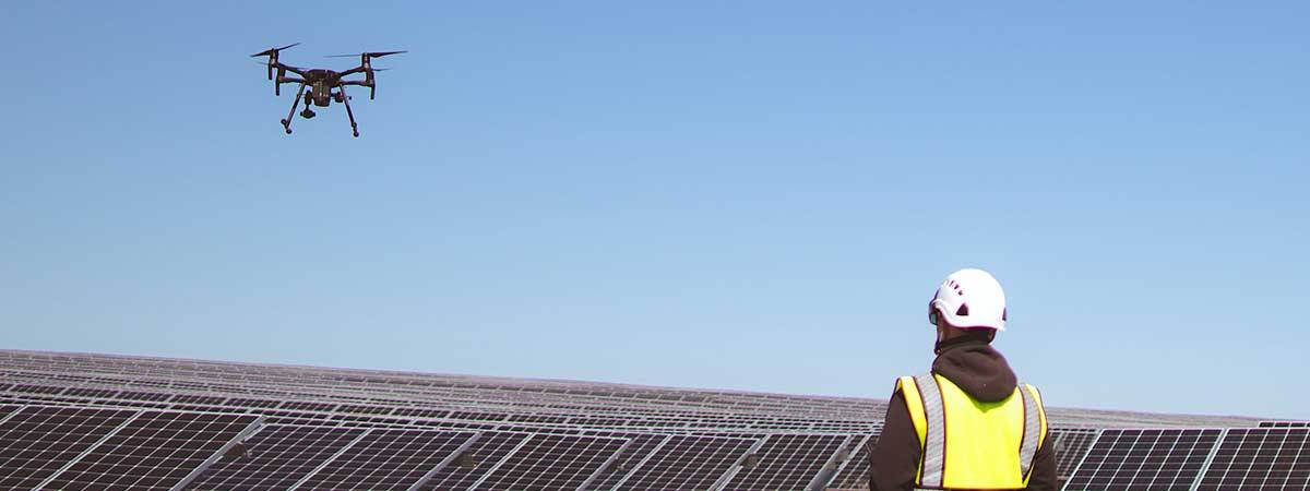
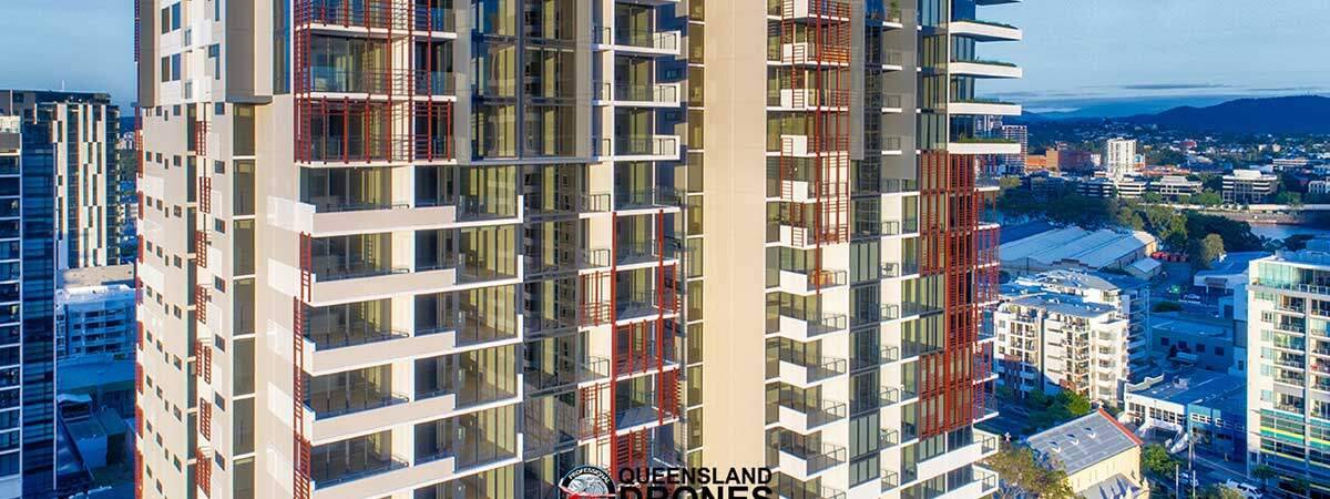
- Aerial Asset and Infrastructure Inspections
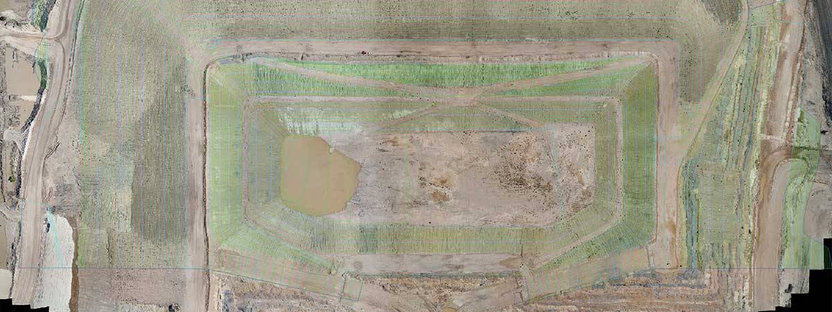
- Contour, Elevation and Topographic Mapping
- Erosion Gully Mitigation and Environmental Mapping
- Farm Infrastructure and Land Use Mapping
- Aerial Asset and Infrastructure Inspections
- Environmental Monitoring Surveys
- Precision Agriculture Services
If you’re looking for reliable, proven and professional commercial drone services in Qld, Northern NSW or the NT, please get in touch. We’re ready to apply our experience and skills to understand your specific project needs and deliver the outputs you need, in the format you require, to advance your next project.
We are fully CASA certified and carry Public Liability insurance. We use an industry standard Job Safety Assessment model which can be integrated into your SWMS for smooth, drama-free operation even on the most complex projects.
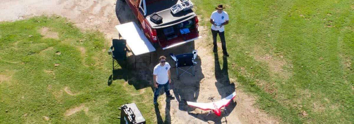
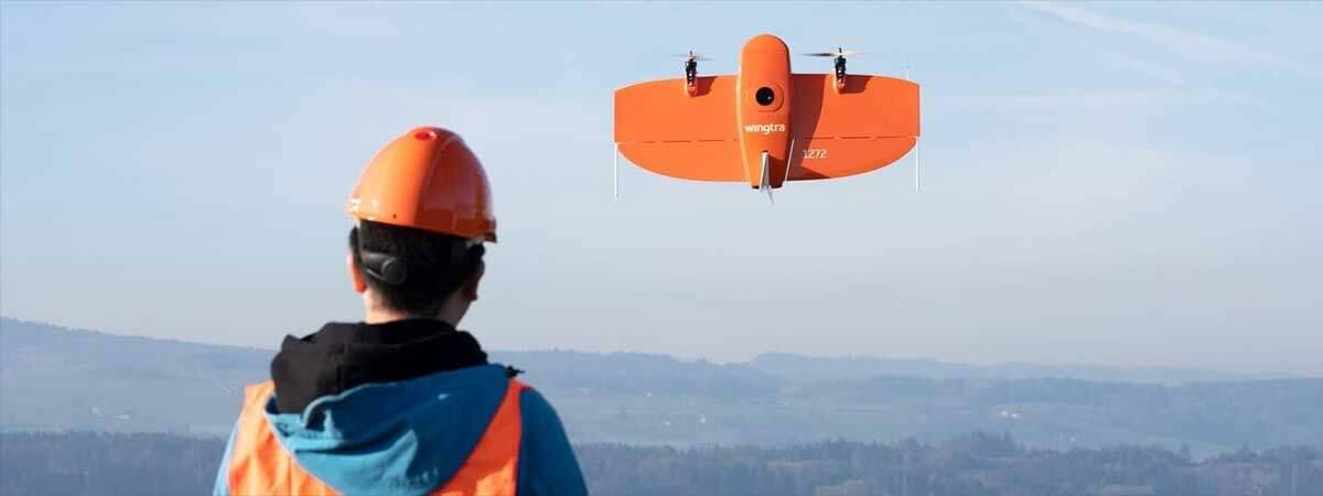
Out enterprise-grade drone service fleet includes DJI M210 and M300 RTK quadcopters, precision short take-off and landing (STOL) fixed wing mapping drones like the Delair UX11 and UX-11AG PPK, and the vertical take-off and landing (VTOL) Firefly6 Pro UAV. Our payloads include LIDAR, precision mapping cameras, zoom inspection cameras, thermal and multispectral sensors. We also have our own precision GNSS base and rover systems capable of 1-2 cm precision ground measurements.
Contact us now for an obligation-free discussion and quote for your precision drone service requirements.
Enquire now about precision mapping services from Queensland’s most respected drone service provider

