PPK Precision Aerial Mapping
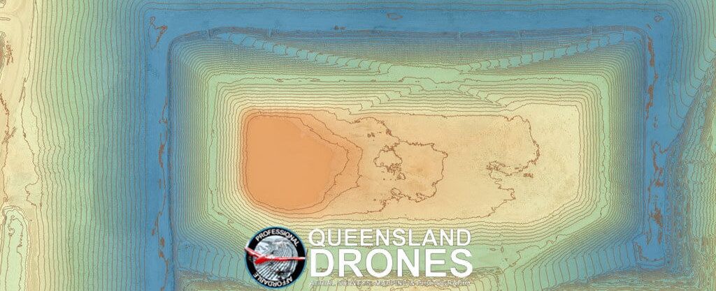
Contour and Topographic Mapping for Construction and Development
In the right hands, advanced PPK GNSS systems integrated with high resolution UAV mapping cameras can deliver near survey-grade mapping results in a fraction of the time and at a fraction of the cost of traditional surveying methods.
Our centimetre precision PPK aerial mapping systems can cover in an hour what would take a traditional surveyor all day to complete – and in a day what would normally take a whole week – but still deliver highly precise data and much greater data density.

We can work with your surveyor or ours to anchor our precise aerial mapping data to surveyor-certified ground control and checkpoints to determine the absolute accuracy of our results, so they can be relied upon for engineering and construction applications.
Queensland Drones assists its clients with precision aerial mapping to better inform:
- As-built construction reporting – precisely compare actual levels with design levels for proof of completion.
- Pre-construction measurement – accurately measure and calculate cut and fill volumes for estimation and planning.
- Terrain modelling – predict water flow and water accumulation to plan culverts, curbing and drainage.
- Corridor and route planning – determine the best route for a corridor or evaluate workload in developing a corridor.
- Engineering and design – precise surface modelling and mapping including DEM, DSM and DTM.
- BIM and architectural design – accurate point clouds and 3d virtual models for CAD and BIM.
- Volumetric calculation – accurate estimation of face heights, slopes, excavations and stockpile volumes.
We provide on-site mapping services throughout Australia using powered lift fixed wing UAV aircraft to cover large areas in a fraction of the time of multicopter drones (e.g. DJI). Our 24 and 42 MP high resolution cameras can deliver mapping imagery to as little as 8mm per pixel ground resolution and cover up to 400 acres per flight.
Contact us Now to discuss or Request a Quote for aerial mapping.
Find out more about our Precision Aerial Mapping using PPK, our Precision Route and Corridor Mapping or our Contour Mapping for Building and Construction services.
