Aerial Multispectral Mapping
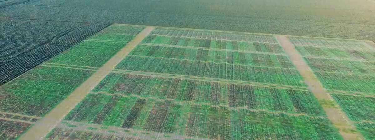
Get precision RedEdge Multispectral mapping of your vegetation or crop health for no more than traditional NDVI mapping. Get the information you really need to manage and care for your agricultural and environmental projects faster and more efficiently, using our on-site aerial multispectral mapping inspections.
Identify Issues Before They Become Problems
There is absolutely no substitute for ground truthing and in-field knowledge, but the question is where should you spend your time … today, this week, this month?
Which crops, fields or plants need your attention the most. Where should you be looking and where should you be sending your agronomist or crop consultants? How do you get the information you really need to identify and prioritise the most important issues?
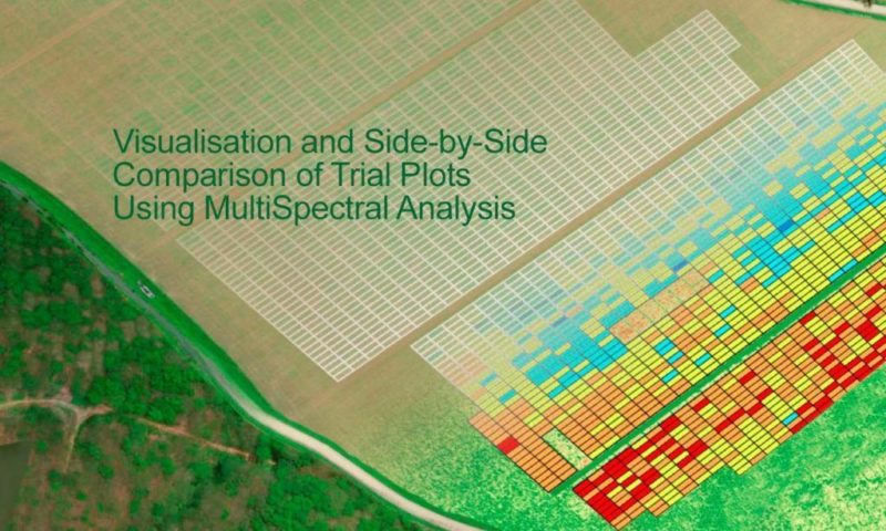
Stop guessing and start using advanced crop management information.
We Deliver Raw Spectral Data or Preprocessed Index Layers as Required
Whether you’re a farmer, an agronomist, a scientist or an environmental manager, Queensland Drones can deliver the precise multispectral data you need to make the right decisions at the right time.
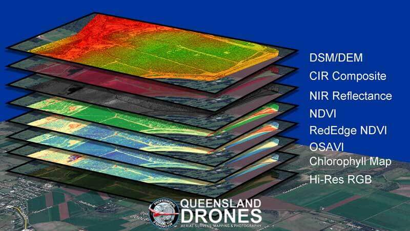
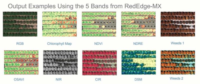
We have the multispectral processing and GIS skills in-house to deliver high resolution orthophotos, DEM or DSM, raw spectral layers (red, blue, green, rededge, NIR) or processed vegetation indices ready to use (NDVI, RedEdge NDVI, Chlorophyll, CIR or OSAVI.
Regular and Timely On-Site Inspections
Throughout the growing season, from planting to harvesting, we are with you to provide the management information you need to make the right decisions at the right time.
NEXT GENERATION DELIVERY
- Secure, Cloud-Based Delivery Platform
- AI-Powered Defect Detection Capability
- Draw and Annotate Directly on Models
- Computer Vision Meets Crop Inspection
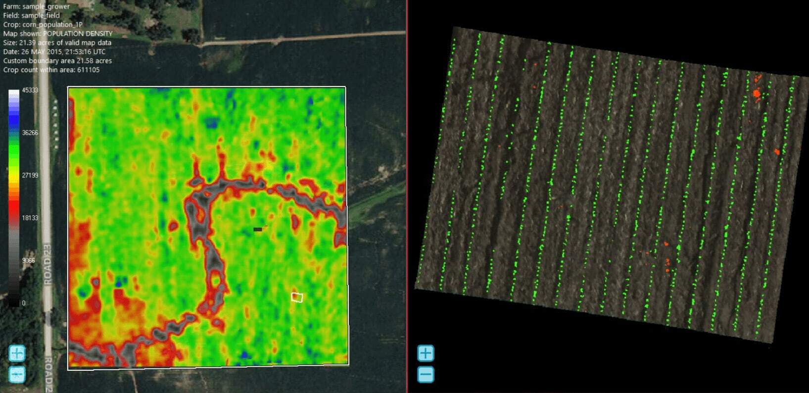
Using the power of machine learning and artificial intelligence, we can detect emerging plant counts, irrigation irregularities, emergence of pests and diseases, changes over time and likely yield. And we won’t share your data!
IMPROVED EFFICIENCY AND SECURITY
- Interrogate Fields From Your Desktop
- Rapidly Identify and Mark Up Potential Issues
- Establish Priorities Before Going Into The Field
- Share Critical Data With Agronomists and Consultants
“You Can Only Manage What You Can Clearly See!”
Improve Lifecycle Management of Crops
Harness the power of advanced multispectral aerial mapping, combined with a secure, cloud-based artificial intelligence management platform, to get the precise data you need to make decisions from planting through to harvest. Where appropriate, determine the relative health of individual plants in a field, orchard or vineyard. See precisely which plants need your attention the most!
Contact us now with your vegetation and crop health management requirements, for a no-obligation discussion or presentation of how our multispectral mapping programs can benefit your farm, orchard, vineyard or project.
If you would prefer to chat on the phone, give us a call on1300 246 977 now.
