Professional, State of the Art Services
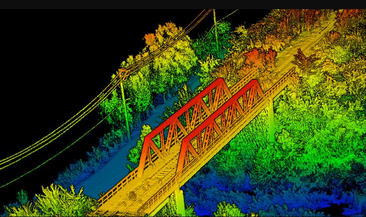
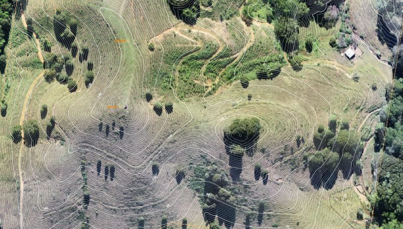
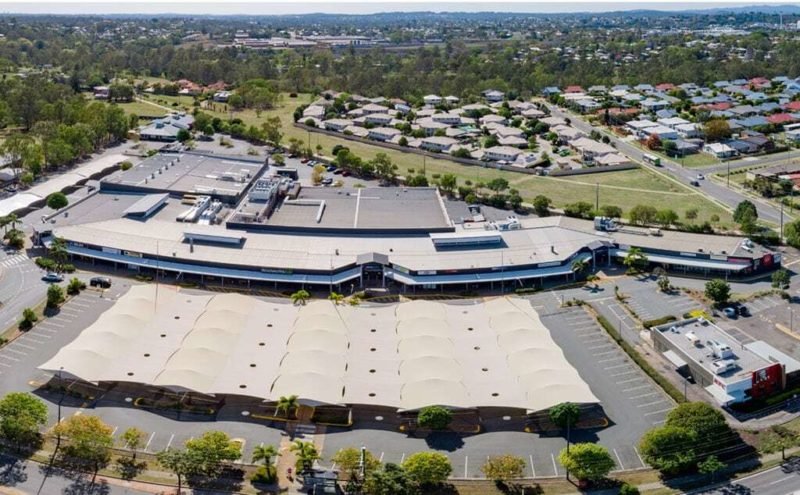
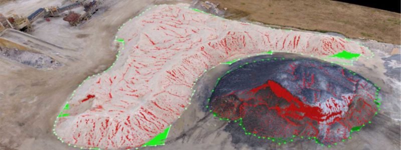
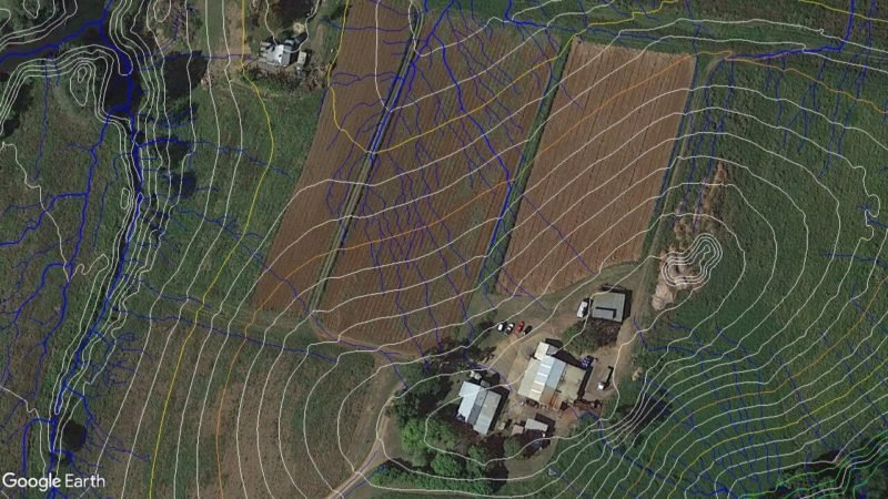
We provide our clients with fast, accurate, professional and state-of-the-art PPK aerial mapping services including LIDAR point clouds, TiN Mesh surface models, elevation contours, topographic maps, breakline and feature extraction, water flow projections and vegetation inspections and more.
We Work Across Australia
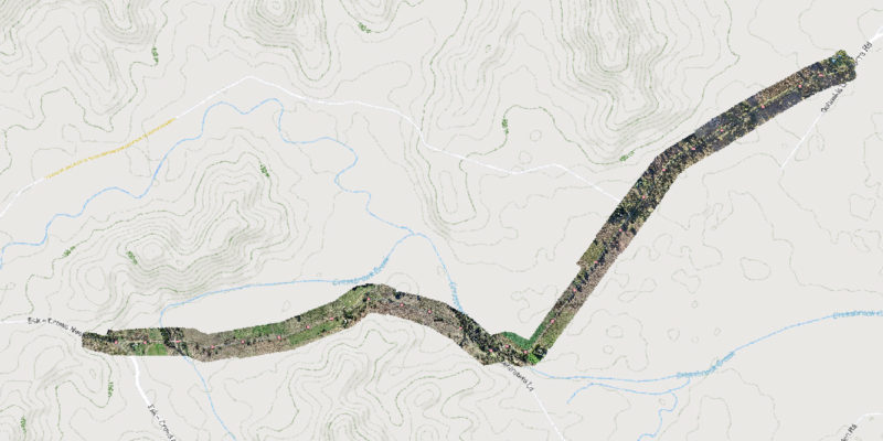
We are based in Regional Queensland, but operate regularly through Queensland, New South Wales and the Northern Territory. We also travel to other parts of Australia as required. We specialise in regional and remote area mapping and can currently hand projects up to 50,000 Ha (but our capabilities are improving all the time, so please ask us even if your project is larger than this).
Secured Outputs Delivered in Your Preferred Platform
If your project data is confidential or sensitive, please be assured that we do not use cloud-based processing platforms. All our processing is done manually by our own experienced GIS specialists, to ensure you receive the outputs you need, quality checked and ready to use in your preferred CAD and BIM platforms. We can even deliver outputs CAD-ready in AutoCAD Revit formats.

