Engineering Pre-Design Site Surveys

Before construction can commence on a major project, a full site survey by a licensed surveyor is preferable and in many cases essential. However, pre-design work can often be informed much more quickly and cost-effectively using pre-design site surveys.
Queensland Drones is not a licensed surveyor, but we work closely with surveyor partners and we use many of the tools of a licensed surveyor to provide GIS-grade survey data for site planning, cut and fill estimates, quantity surveys, tenders, etc. Our UAV Lidar Surveys for engineers and surveyors can deliver very accurate DEM, DSM and surface models, usually <5cm precision without GCPs and often <2cm precision with surveyed GCPs.
We can work with your trusted surveyor or we can introduce a trusted surveyor we’ve worked with previously to ensure you can confidently rely on the data we provide.
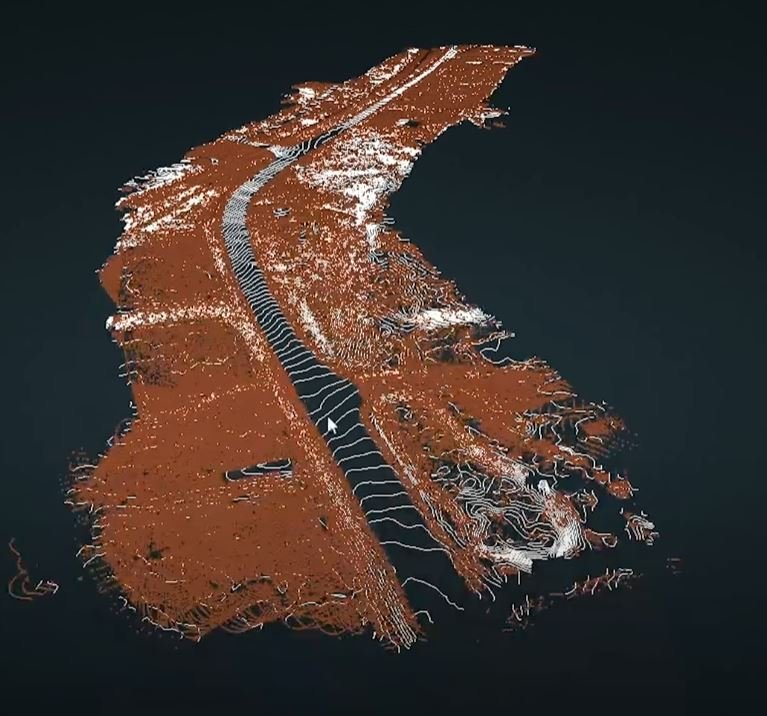
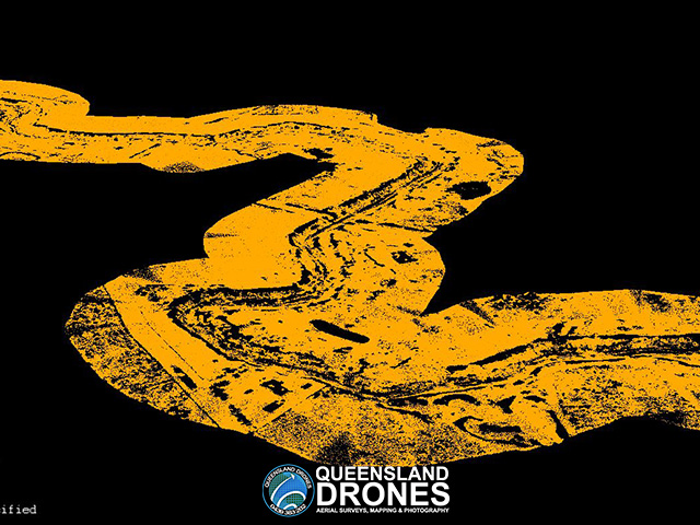
In the example shown below, a full site survey by a licensed surveyor would have taken weeks and cost tens of thousands of dollars.

Using LIDAR and photogrammetry with surveyed ground controls and advanced GIS processing techniques, Queensland Drones was able to provide a pre-design site survey (breaklines, contours, DSM, TiN Mesh and orthographic image) for this site in less than a week and with real world precision measured in centimeters. We also provided a detailed report on accuracy and how it was established.
This pre-design survey was delivered using a combination of LiDAR data, high resolution satellite imagery and precise location data collected by a registered surveyor (in just a few hours on the site).
Got questions? Like to know more? Give Tony a call on 1300 246 977 or complete the enquiry form below and we’ll give you a call.
