Aerial Multispectral Mapping

Affordable RedEdge Crop and Vegetation Mapping
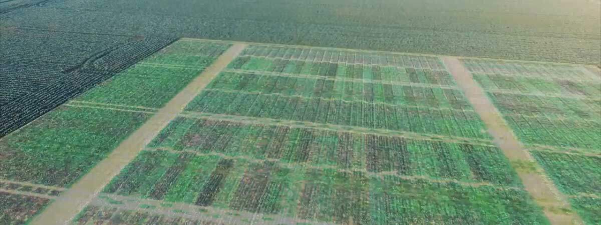
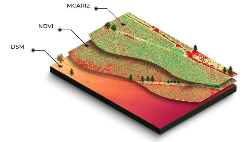
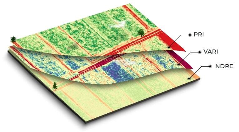
RedEdge Multispectral crop and vegetation mapping is far more effective than NDVI and other methods of analysing crop or vegetation state using reflectance values. Unlike NDVI which captures only one light band, RedEdge Multispectral captures five spectral bands including the ultra-sensitive RedEdge NIR band.


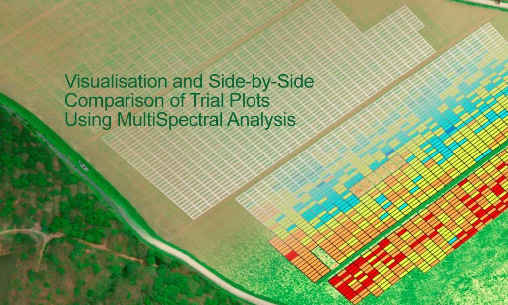
RedEdge Multispectral mapping data can be isolated down to trial plot and even individual plant level, depending on the application, and data from plants and plots can easily be compared side by side to identify performance issues.

RedEdge (NDRE) mapping can help to rapidly identify emerging threats including weeds, diseases and fungal infections to help producers make better decisions on the use of fertilisers, nutrients, irrigation resources and herbicides.
The data can even be used to count plants or trees and provide plant or tree level health and variability data.

Our advanced Micasense RedEdge MX sensor with DLS2 light sensor can remove the variability in lighting conditions (due to weather, time of year, etc) that typically make comparisons of NDVI mapping over time very uncertain.
Queensland Drones assists its clients with multispectral analysis to better inform:
- Pest and disease identification – so you can optimise use of pesticides and sprays by detecting problems earlier and more precisely.
- Soil fertility – measure the effects of adding nutrients or fertilisers and decide if fields need to be rotated.
- Plant counting – see how many seedlings have germinated and decide if replanting or thinning is required.
- Yield estimation – estimate the potential yield and harvest timing of a crop well before harvest time.
- Irrigation measurement – see where irrigation is needed and how effectively it is operating across a crop.
- Damage assessment – to ensure rapid and accurate insurance claims after storms and other disasters.
- Terrain modelling – to predict water flow and water accumulation to plan dams and drainage tiles.
We provide on-site mapping services to growers and agronomists throughout the growing season – pre-planting, sowing, irrigating, fertilising, scouting and pre-harvesting – and we can integrate our data with your precision farm equipment, farm management programs, agronomic software or ESRI GIS systems.
Contact us now on 1300 246 977 to discuss your requirements or complete the form below to request a quote.
Find out more about Multispectral Mapping for Crops and Vegetation
