Project Gallery
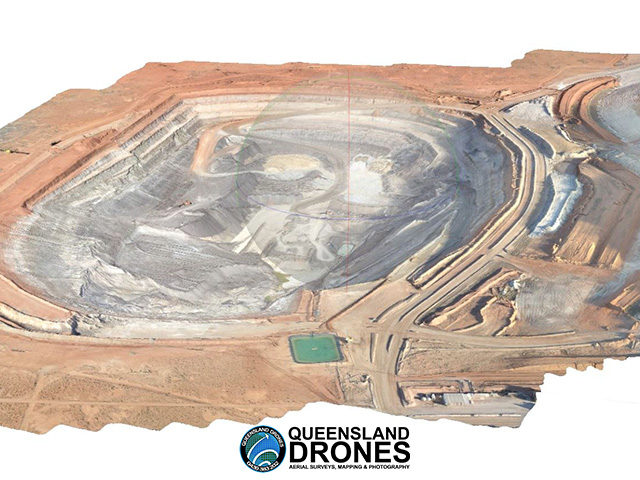
3D Virtual Model of Open Pit Mine
Queensland Drones was commissioned to create a high-resolution virtual model or digital twin of a very large open pit gold mine, to be used for a Hollywood movie set. Find out more….
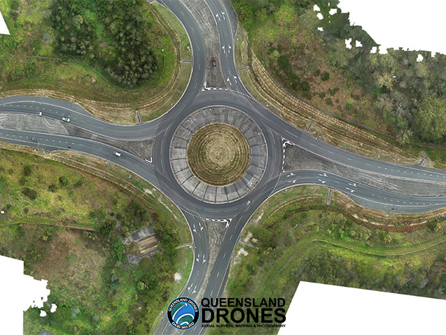
Arterial Road Intersection Modelling
Queensland Drones was commissioned by a surveyor to model a major arterial road intersection and its approaches to inform a redesign by Queensland Department of Transport and Main Roads. Find out more…
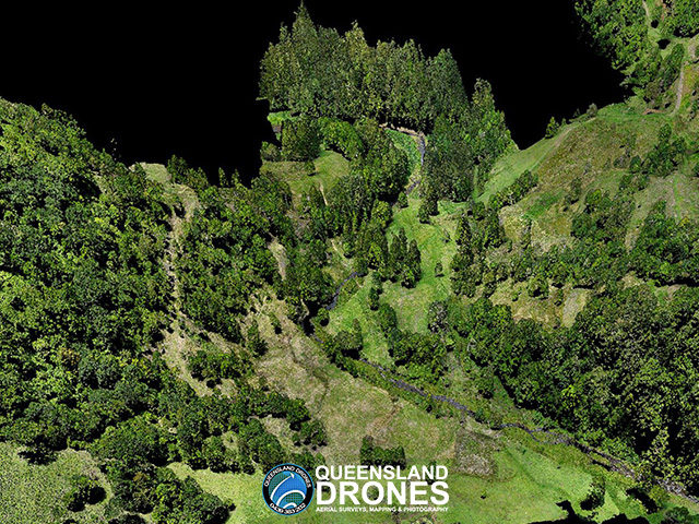
3D LIDAR Model of Water Catchment
Queensland Drones was commissioned to capture colourised 3D LIDAR to model water flows and tree planting to inform ongoing rehabilitation and replanting of a property in a major water catchment. Find out more….
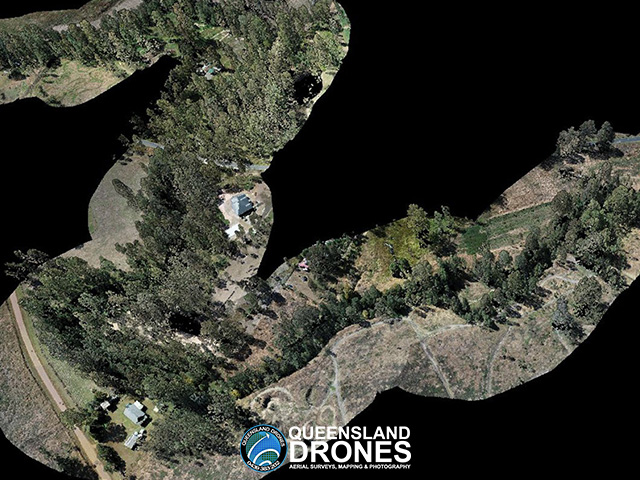
LIDAR Mapping of Rivers and Creeks
Queensland Drones was commissioned by Ipswich City Council to capture 3D colourised LIDAR data for more than 240 linear kilometres of rivers and creeks following the 2022 flood event . Find out more…
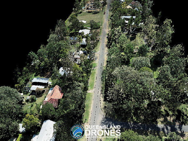
3D LIDAR Model of Urban Streetscape
Queensland Drones was commissioned by a surveyor to capture colourised 3D LIDAR to model an urban streetscape in a rural town on behalf of the local area Council. Find out more….
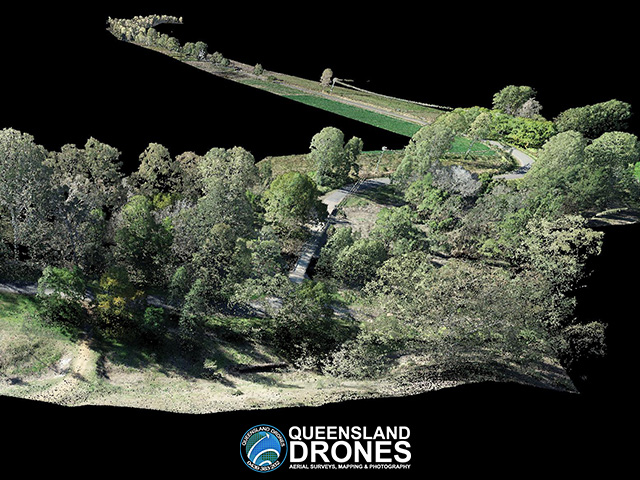
Rural Road Corridor Mapping
Queensland Drones was commissioned by a surveyor, on behalf of a local Council, to map more than 8km of rural roads and develop detailed feature and elevation models for use by its engineers. Find out more…
